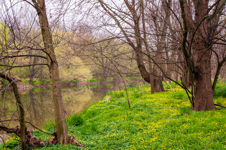
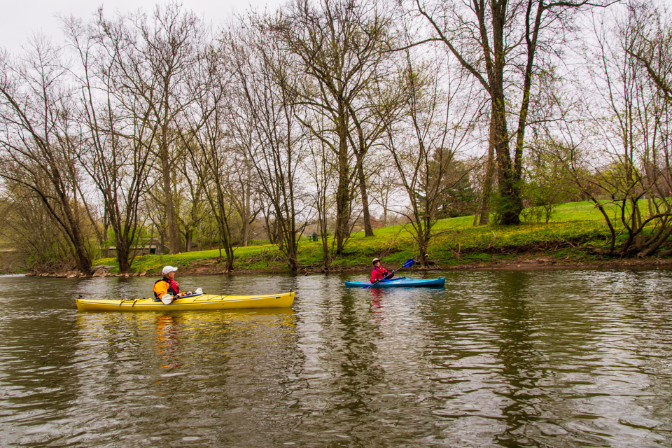
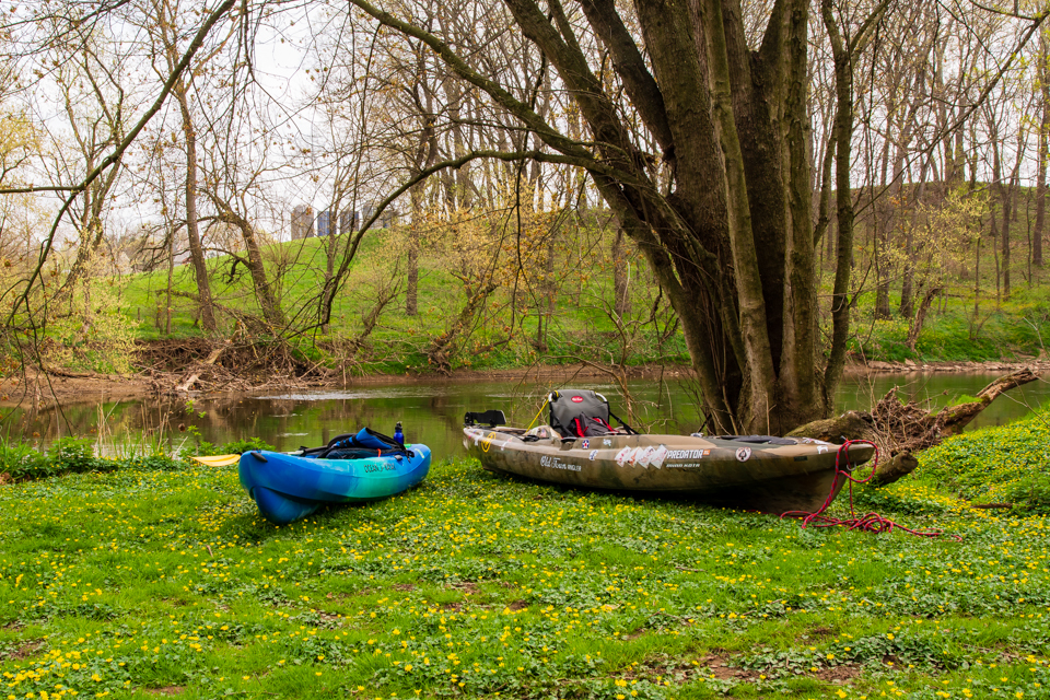
On Saturday, April 10, I had the opportunity to participate in a kayaking trip on a portion of the Conestoga at the invitation of Todd Roy, president of the Conestoga River Club. One of the goals of this trip was to scout out some locations for an upcoming Uncharted Lancaster adventure featuring the path of the old Conestoga Navigation Company. I also relished the opportunity to get out on the river in a small boat for the first time with some experienced companions. There had been rain in the forecast for Saturday which caused me some apprehension because I was planning to take my camera on the trip. But, as Saturday dawned, there were no rain showers in the area even though the sky was overcast. The banks of the river were green with thousands of yellow buttercups.
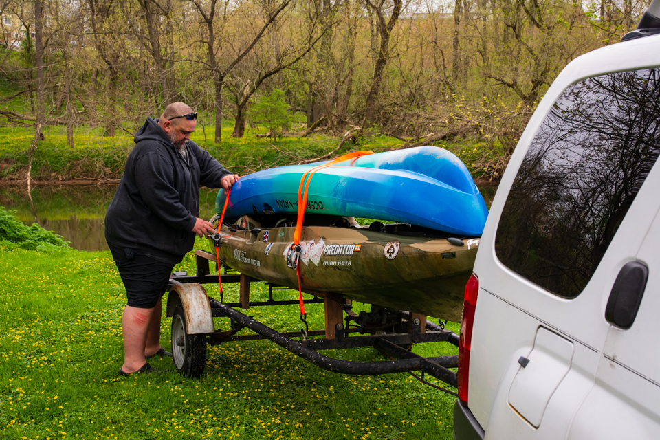
Todd was generous enough to bring an extra kayak for me to use along with a PFD and the required safety gear. We were soon joined by John Laughlin and Christine Brubaker. I paddled around a bit to get the feel of the boat. I had used a kayak before but that was in the ocean, with a bathing suit, where getting dumped was part of the fun. Today I need to keep myself, and especially my camera, dry.
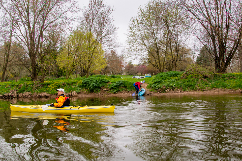
We put in at the County Park at Riegart’s Landing which was the head of navigation for the Conestoga Navigation Company nearly two centuries ago. It was here that Adam Reigart operated a hotel and tavern where the Stagecoach bridge crossed the river on the approach to Lancaster. After a quick introduction to navigating the shallows under the Strawberry Street bridge, we settled into a peaceful paddle down the beautiful Conestoga.
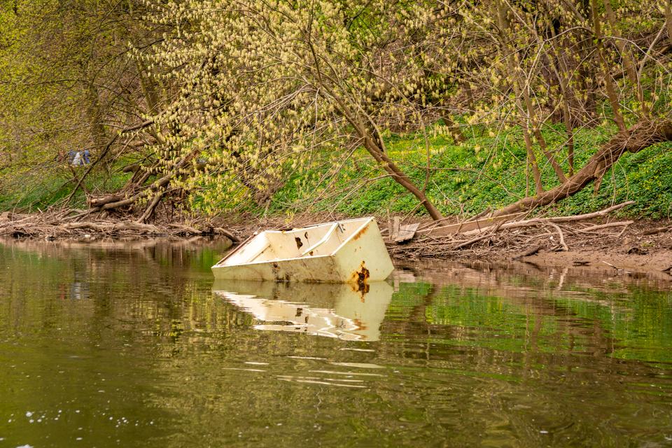
We didn’t get very far in our journey until we saw the first signs of one of the problems that the river faces. There are still too many people who view the river as a dumping ground. Todd was taking notes of large items that need to be removed from the river. At one place, there was a whole dumpster sitting in the river. Here is a refrigerator that someone could have just as easily taken to the county transfer station but decided instead to dump it here.
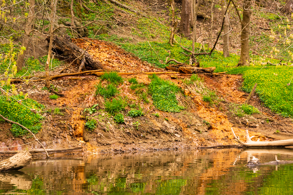
Above the river at the edge of the county park, is an old landfill area. This landfill was in operation until 1968. The area was not lined, allowing rainwater to infiltrate the site. The excess water runs off and finds its way back to the river bringing with it whatever materials it picked up along the way. I’m not a chemist, but this orange water looks like iron oxide (rust), but it could be something else being drained into the river.
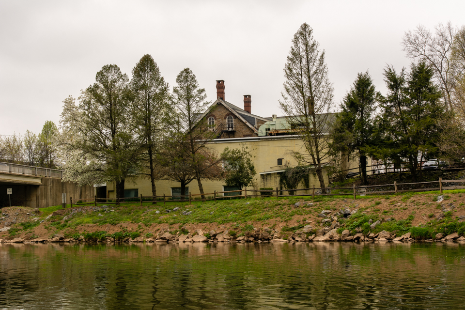
Further down the river, we came to Engleside at the end of Prince Street. The Engleside Hotel was at this location (now the Dirty Ol’ Tavern). This location was called “Graeff’s Landing”. It was one of the loading ports for the Conestoga Navigation Company. The Marquis De Lafayette crossed the river on a pontoon bridge here when he visited Lancaster in 1825.
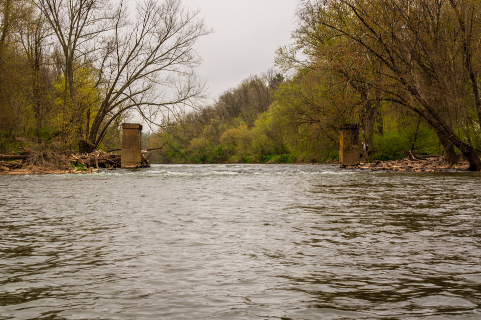
Finally, we made it down to the location of Lock #1 on the Conestoga Navigation. I stopped here to get some photos of the area where the lock would have been. The dam for this lock was later used to power a large flour mill operated by Levan & Sons. There is still some stonework from the old mill that can be seen from the river. Two concrete piers that once supported a short trestle that carried bags of flour across the river to the railroad line on the left bank rise out of the river like a scene from the Lord of the Rings.
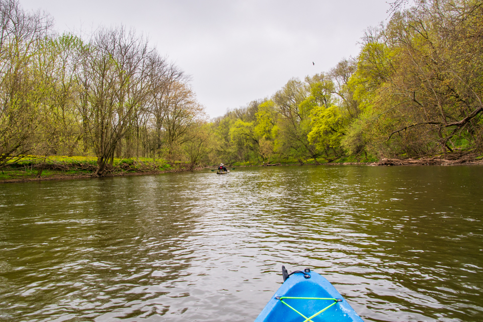
Moving on down the river, we came to the spot where the Mill Stream joins the Conestoga. The Mill Stream is one of the Conestoga’s main tributaries. During the time of Conestoga Navigation, a bridge carried the tow path over the creek at this spot.
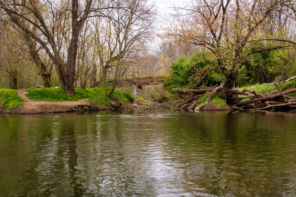
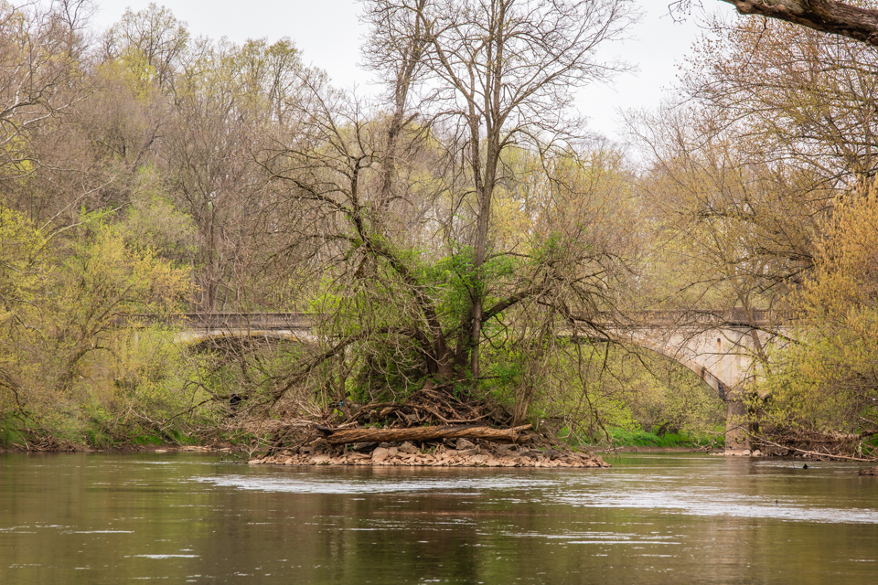
Going around a bend in the river, we come to the bridge that carries the New Danville Pike across the river. Here you can still see the center pier of the covered bridge that preceded the current bridge. This was one of the longest covered bridges in the county. It was destroyed by vandals in 1930 while the new bridge was under construction.
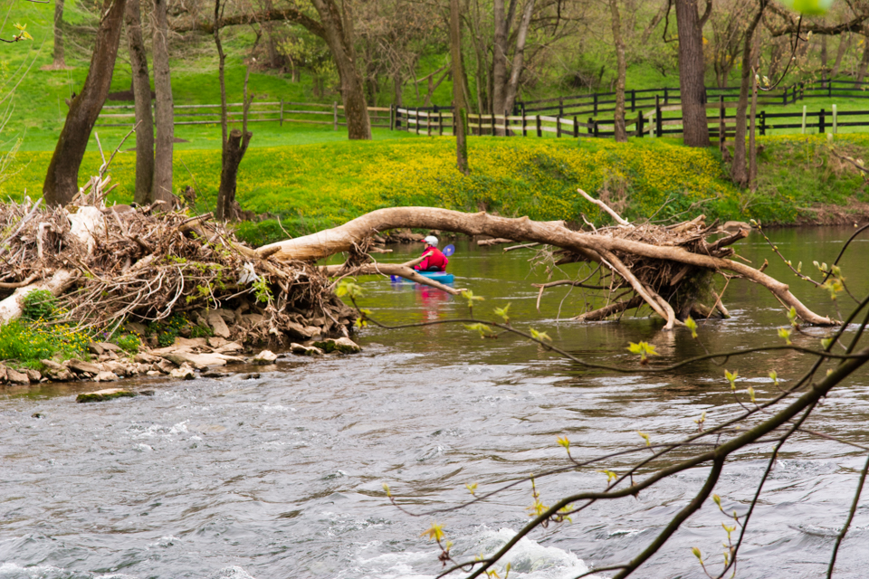
Then we came to the site of lock #2 of the Conestoga Navigation. The covered bridge in this spot was aptly named “the Second Lock Bridge”. It also was destroyed by vandals. Here we encountered the most exciting part of our trip. The river here is shallow and there are many rocks and other debris in the channel. John Laughlin volunteered to go first and I was told to follow his line. I watched as John made his way down through the rapids trying to memorize his path and turns. Suddenly, about halfway through, John encountered an unexpected, submerged log. The force of the water caused his boat to roll, and he went for a swim. I decided that I should not follow that line! Behind me I heard Todd order me to head to the bank. I complied. John collected himself on the other side and came walking back up through the lock. He then took my boat down through the rapids while I walked down the lock. I got some good photos that I hope Adam Zurn can use for his adventure. Here is Christine wisely choosing a path on the other side of the channel.
A short distance further down, we came to our planned take-out point at Windolph Landing park. I thoroughly enjoyed my day on the river and learned a lot about how to read the water conditions. I made it to the end with a dry camera which was not a simple feat. I hope to be able to do some more river running in the future. One thing that became very clear to me is that, unless you are very experienced, you should always travel with some trustworthy friends.
P.S. If you would like more information about the Conestoga River and its history, you should pick up a copy of my new book, “The Conestoga River: A History”. Click on the “Book” menu at the top of the screen for more information.
April 14, 2021 at 10:57 am
Thanks Don! Sounds like a fun day. I enjoyed your travel log. The scope of destruction by vandals in decades past is worrisome. Why couldn’t they just tag the structures like today?! ;/
April 15, 2021 at 2:07 pm
Great article. Sounds like a good way to spend an afternoon.