Skip to content
DonaldKautz.com
Lancaster County History and Photography
  • Home
  • Blog
  • Conestoga
  • Mills
  • Store
  • About
Search for:

Category: Conestoga Navigation

    A Conestoga Ramble

    A Conestoga Ramble

    November 17, 2024

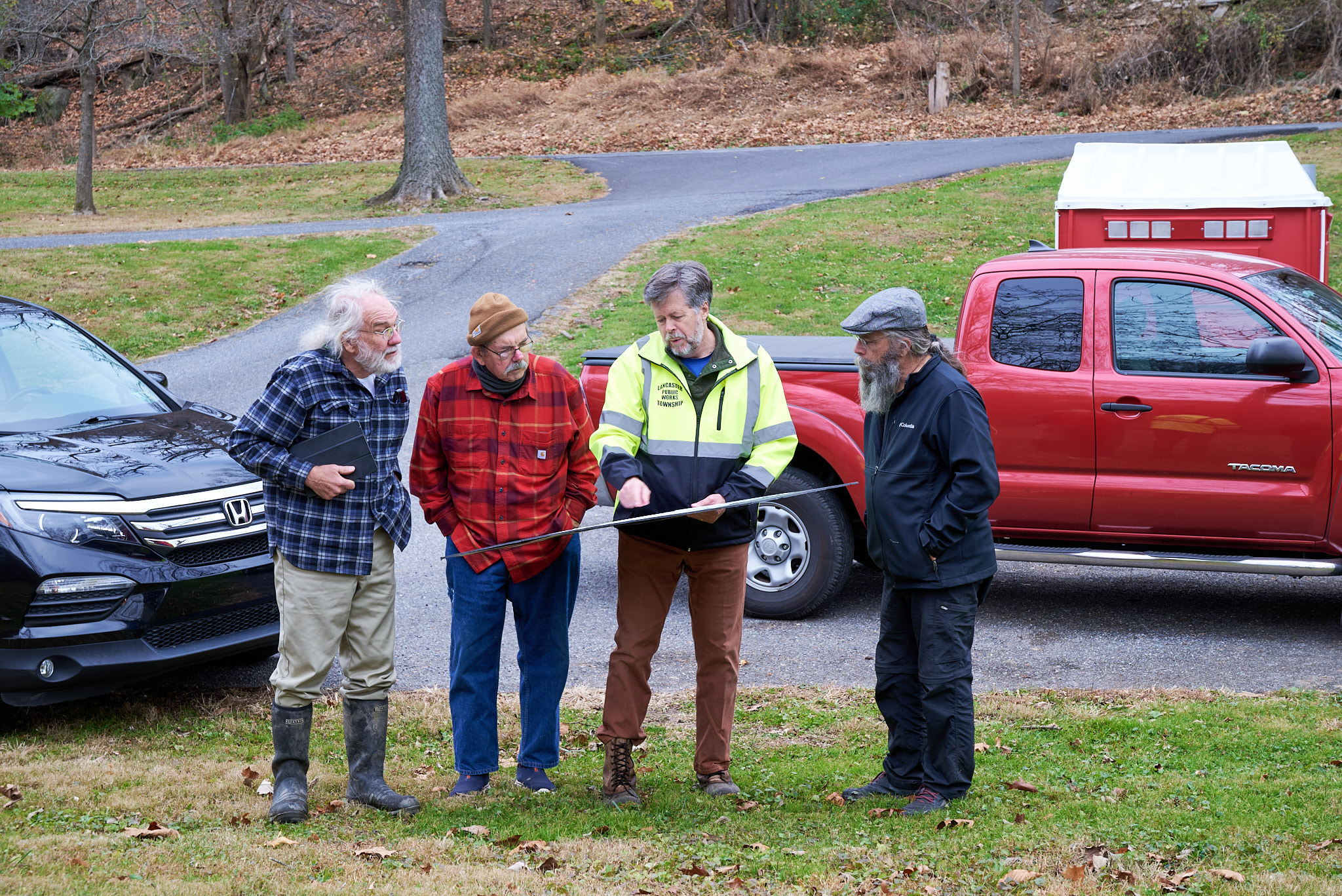
    Two hundred years ago, in November 1824, Captain Ephraim Beach completed his survey and map of the Conestoga River for the purpose of making the river navigable from Lancaster City to Safe Harbor. Captain Beach was the principal engineer for the Schuylkill Canal which opened in 1827....

    Continue Reading

    By Donald Kautz
    • 0

Welcome to my blog! If you would like to comment on one of the articles, you must first register a username and password with the site. Click on the register link below if you do not have a username/password. Otherwise, click the Login link.

Register

Log in

Recent Posts

  • Turbine Maintenance at the Ressler Mill
  • Mendelssohn’s Birthday
  • A Conestoga Ramble
  • Lancaster’s Historic Waterway – Part V
  • Lancaster’s Historic Waterway – Part IV

Categories

  • Bridges
  • Conestoga Navigation
  • Conestoga River
  • Conservation
  • Fur Trade
  • History
  • Lancaster
  • Mills
  • Native Americans
  • millsoflancastercounty.com
  • millsofyorkcounty.com
  • dlkautzphoto.com
Copyright © 2025 Donald Kautz. All rights reserved.